
Ground Penetrating Radar (GPR) has become an essential tool for subsurface investigation in fields such as construction, archaeology, utilities, and environmental studies. While collecting radar scans in the field is the first step, the real value of the technology comes through GPR data analysis. Interpreting the patterns, reflections, and anomalies in radar images transforms raw signals into actionable knowledge, helping professionals make safe and informed decisions.
This article explores the fundamentals of GPR data analysis, the challenges involved, and the methods experts use to ensure accurate interpretation of subsurface conditions.
What Is GPR Data Analysis?
GPR data analysis is the process of reviewing, processing, and interpreting radar data collected during a ground survey. A GPR unit sends electromagnetic pulses into the ground, and when those waves encounter different materials or boundaries, they reflect back to the receiver. These reflections are recorded as a series of waveforms, often displayed as radargrams.
The job of data analysis is to turn those radargrams into a clear picture of what lies beneath the surface—whether that’s soil layers, buried utilities, voids, rebar, or archaeological artifacts.
The Key Steps in GPR Data Analysis
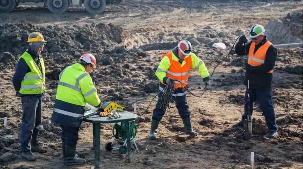
1. Data Collection and Quality Control
The accuracy of data analysis depends on the quality of data collected in the field. Analysts review the completeness of survey lines, signal clarity, and environmental conditions that could influence results.
2. Data Processing
Raw radar signals often contain noise and distortions. Processing techniques are used to clean and enhance the data, including:
Filtering: Removes background noise and improves clarity.
Gain Adjustment: Amplifies deeper signals that are naturally weaker.
Migration: Corrects the position of reflected signals to create a more accurate subsurface image.
Time-to-Depth Conversion: Translates the radar’s travel time into actual depth estimates based on material properties.
3. Pattern Recognition
Analysts look for distinctive shapes, hyperbolas, or continuous reflections that indicate subsurface features. For example, a curved hyperbola might represent a buried pipe, while layered reflections could reveal soil stratigraphy.
4. Interpretation
The processed images are compared against known material properties, survey context, and project goals. Analysts determine whether anomalies represent natural features, man-made objects, or voids.
5. Reporting
Finally, findings are compiled into maps, cross-sections, and written reports that guide decision-making in construction, excavation, or research projects.
Common Applications of GPR Data Analysis
Utility Detection: Locating underground pipes, conduits, and cables without excavation.
Concrete Scanning: Identifying rebar, post-tension cables, and voids in slabs.
Geotechnical Investigations: Mapping soil layers, bedrock, or groundwater tables.
Archaeology: Detecting buried structures, walls, or artifacts with minimal disturbance.
Environmental Studies: Assessing landfill boundaries, contamination plumes, or void detection.
Challenges in GPR Data Analysis
While GPR is powerful, interpreting radar data is not always straightforward. Challenges include:
Soil Conditions: Clay-rich soils and highly conductive materials can absorb signals, reducing clarity.
Signal Overlap: Multiple reflections can blur or mask important features.
Depth Limitations: The deeper the scan, the weaker the signal, making deep anomalies harder to detect.
Operator Expertise: Accurate interpretation requires training and experience—misreading radargrams can lead to costly errors.
Techniques for Enhancing Accuracy
To overcome these challenges, analysts rely on:
Multi-Frequency Antennas: Combining shallow high-resolution scans with deeper low-frequency scans.
Cross-Section Analysis: Examining multiple survey lines together to verify anomalies.
3D Modeling: Creating volumetric images by merging parallel scan lines.
Calibration with Known Targets: Using test scans over known objects to confirm data interpretation accuracy.
The Role of Software in GPR Data Analysis
Specialized software plays a critical role in processing and interpreting radar data. These programs can filter noise, generate 3D reconstructions, and highlight anomalies for easier analysis. While software enhances efficiency, human expertise is still vital for making final interpretations and avoiding false positives.
Benefits of Accurate GPR Data Analysis
Safety: Reduces the risk of striking utilities or encountering unknown hazards during excavation.
Cost Savings: Prevents unnecessary digging or construction delays.
Efficiency: Speeds up site assessments compared to traditional intrusive methods.
Non-Destructive Results: Provides subsurface insight without damage to structures or landscapes.
Informed Decision-Making: Delivers precise data that guides engineering, construction, and research.
Future Trends in GPR Data Analysis
As technology advances, GPR data analysis is becoming even more powerful through:
Artificial Intelligence and Machine Learning: Algorithms that automatically identify patterns and anomalies.
Integration with GIS and BIM: Combining radar data with geographic and building models for complete site mapping.
Improved Hardware: Faster processing, higher resolution, and greater depth penetration.
Cloud-Based Collaboration: Allowing multiple stakeholders to access and interpret results remotely.
Final Thoughts
GPR data analysis is the bridge between fieldwork and actionable insights. While collecting radar scans provides the raw material, it is through careful processing, interpretation, and reporting that true value emerges. From construction safety to archaeological discovery, the ability to see beneath the surface without digging is a game-changer.
For professionals in Denver, across Colorado, and beyond, investing in skilled GPR data analysis ensures safer projects, reduced costs, and more accurate outcomes. As tools and techniques continue to evolve, the potential of subsurface imaging will only expand, making GPR an indispensable part of modern site investigation.


Write a comment ...